Money Creek Mining Map – Southern — Historical Map
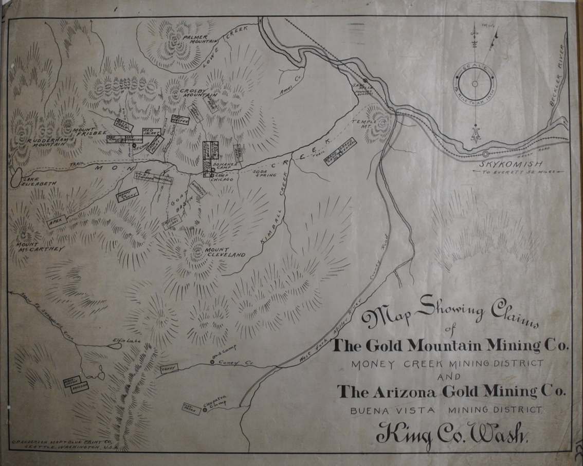
This historical map of Money Creek, Washington Mining Map circa 1890’s – South is offered as an original tracing from Anderson Map Company.
The map’s listed title is Money Creek Mining Map – Southern. The original tracing shows mining claims in the Money Creek area, South portion.
Its mining focus gives this map a particular appeal for collectors interested in the documents used to describe mineral districts and claims. Read it as a piece of working cartography, connecting the named area with the commercial interests recorded on the sheet.
Map size: 20″ x 15″
Condition: Good. Review the photographs for the appearance of this particular item.