Frederik de Wit’s Decorative Map of Africa, circa 1688
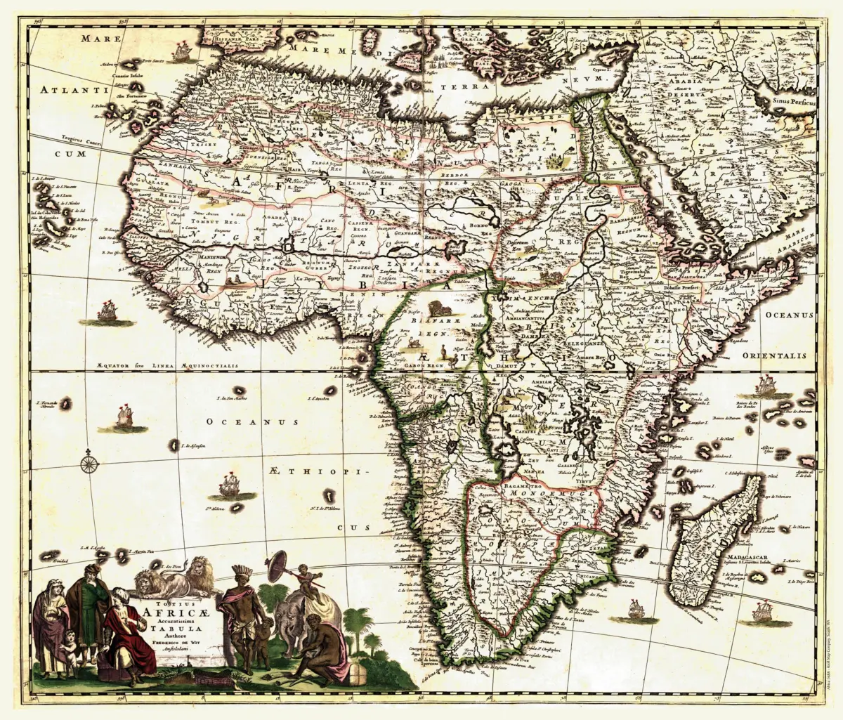
This antique Africa map print reproduces Totius Africæ accuratissima tabula by Frederik de Wit. This Latin-language map is a hand-colored work, tentatively published in Amsterdam circa 1688. Its intricate geography and ornamental details bring the character of seventeenth-century mapmaking to your wall.
Ships, regional animals, and pictorial terrain invite a closer look, extending the appeal beyond coastlines and place names. Mountains and waterways weave through the continent, while decorative lettering gives the composition the distinctive presence of an early atlas map. These details preserve a historical view of Africa through the eyes of a European mapmaker.
This reproduction preserves the historical linework and illustrations for close study. Display it in a study, library, or office, or pair it with other antique continent maps for a collection that celebrates the art and history of cartography.
Printed size: 36″ × 31″