Description
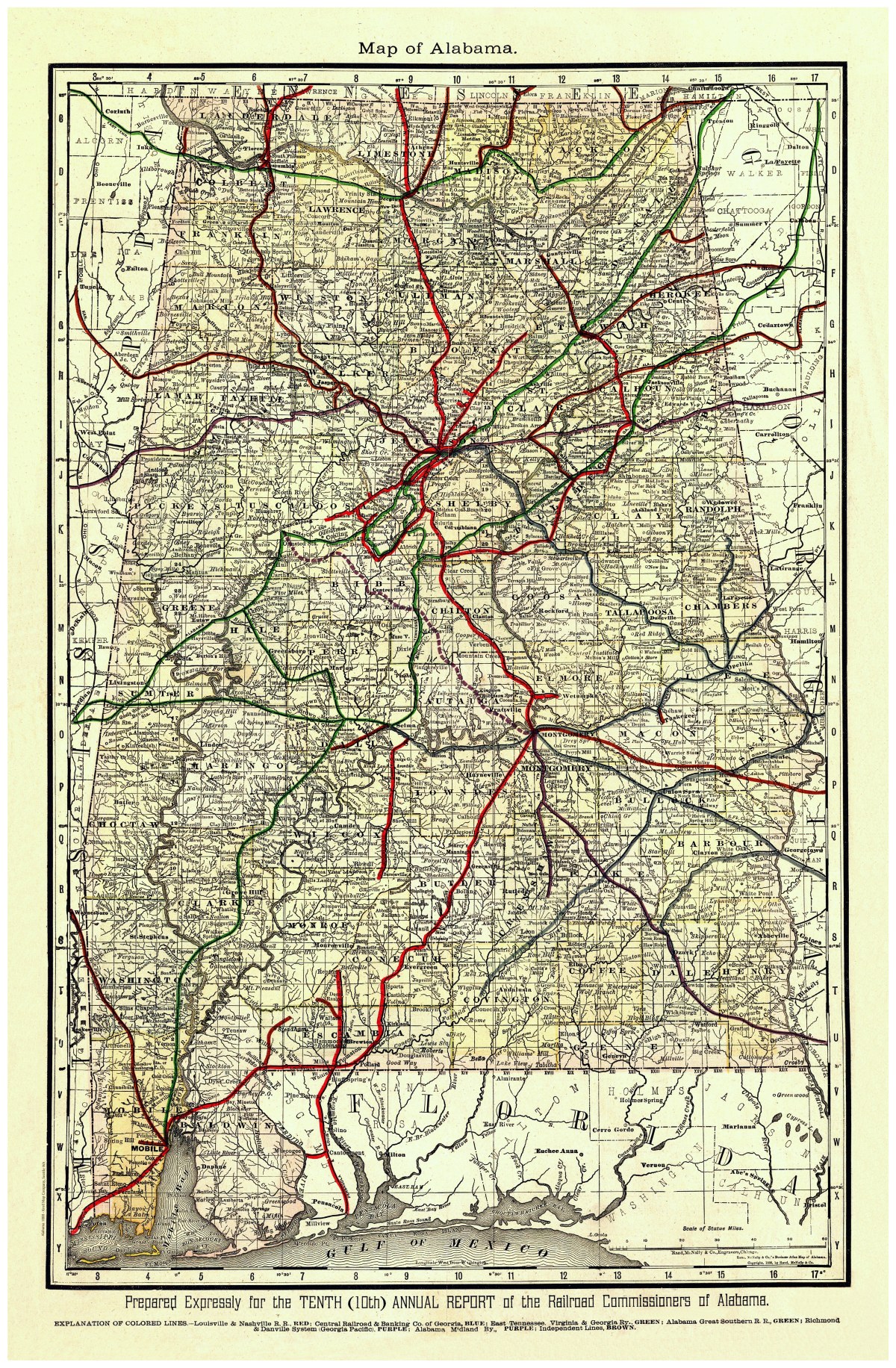
‘Map of Alabama’
This 1888 map of the great state of Alabama shows drainage, township and county boundaries, cities and towns, and the railroad network in colored lines, originally published in Chicago. On map: “Prepared expressly for the Tenth (10th) Annual report of the Railroad Commissioners of Alabama.”
Reproduction Size: 24″ x 36″


