
Alaska at the Time of the Purchase, 1867
This 1867 Alaska map print reproduces Northwestern America Showing the Territory Ceded by Russia to the United States. The Library of Congress credits A. Lindenkohl and the U.S. Coast and Geodetic Survey.
Prepared by the U.S. Coast Survey for the State Department, the map accompanied Charles Sumner’s published speech on the cession of Russian America. Its title ties the geographic image directly to the transfer of the territory.
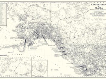
Explore the sheet as a historical document from the year of the Alaska Purchase, or compare it with later maps that emphasize steamship travel, gold fields, fishing districts, and settlements. Each reveals a different purpose for mapping the same northern region.
This reproduction brings the period’s official cartography into a study, library, or collection of Alaska maps, combining documentary interest with the visual character of a nineteenth-century geographic print.
Printed size: 36″ × 23″