Alaska — Original Antique Map
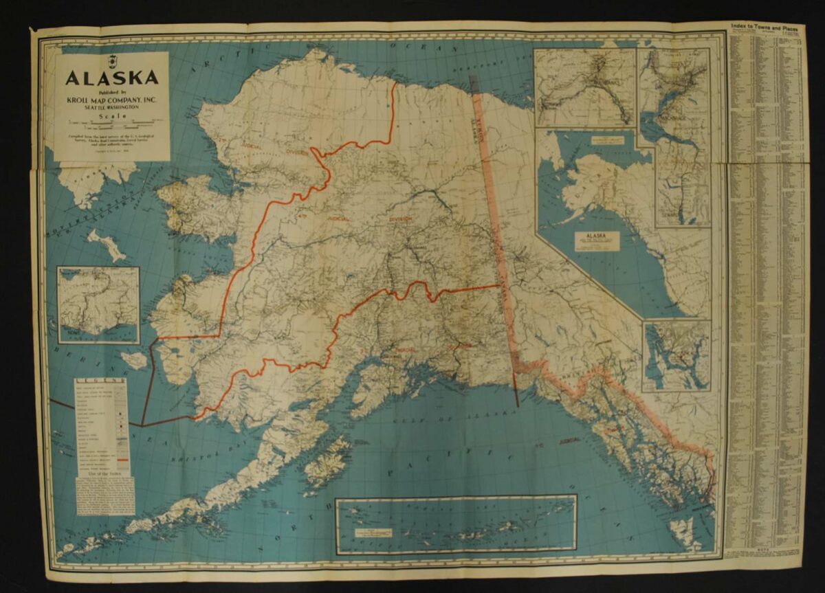
This Alaska, 1936 is an original lithograph print from Kroll Map Company.
The map’s listed title is Alaska. The lithograph shows Alaskan Judicial Boundaries.
This Kroll edition records Alaska’s judicial boundaries, linking regional geography with the territory’s administrative history. Its original lithographed format is part of the item’s historical character.
Map size: 45″ x 23″
Condition: Poor, previously folded. Review the photographs for the appearance of this particular item.