Description
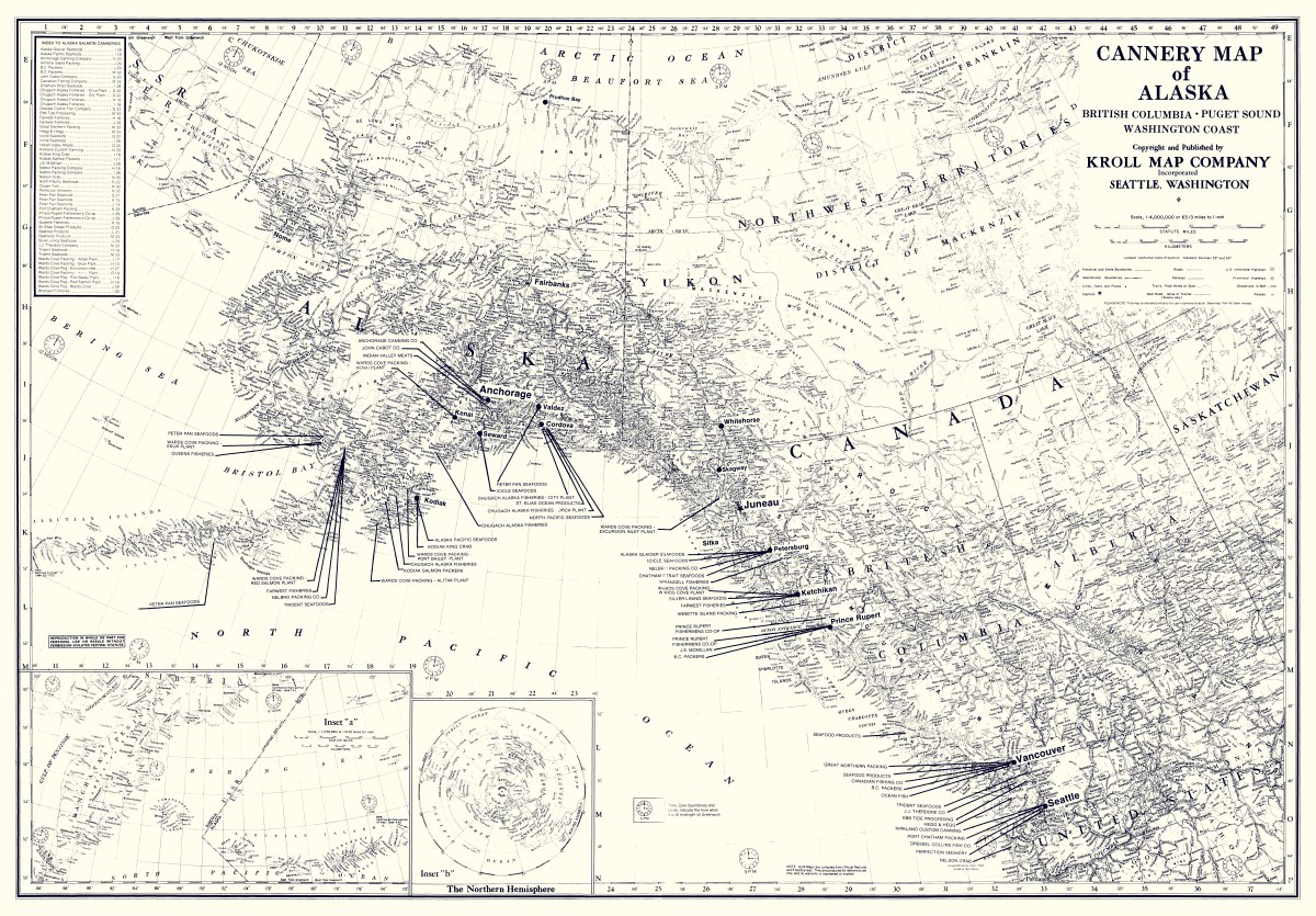
‘Cannery Map of Alaska, 1988’
Kroll Map Company’s historically popular map of fishing areas and canneries of Alaska, British Columbia, Puget Sound, and Washington Coast. Shows fishing district boundaries, towns and villages. Compiled from the records of U.S. Fish & Wildlife Service, Northwest Branch, National Canners Association, Alaska Salmon Industry, Inc., and other private sources. Indexes of canneries (and specifically salmon canneries) by location. Sepia print or blueline print available. (Blueline map shown above.)
Reproduction Size: 43″x 30″


