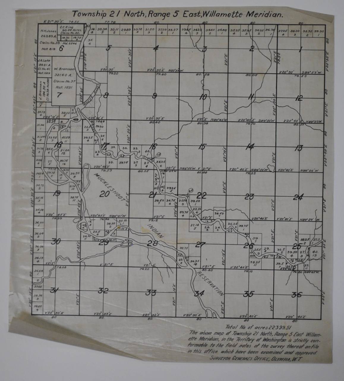
Township 21 North, Range 5 East — Historical Map
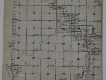
This historical map of Auburn, Washington Township Map circa 1890s is offered as an original tracing from Surveyor General.
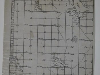
The map’s listed title is Township 21 North, Range 5 East. Original tracing of a copy of the Surveyor General’s township map of the Auburn, Washington area.
The township format offers a useful point of comparison with other survey maps in a collection. Its survey references help distinguish this sheet from a general city map and connect it with the practical mapping of land.
Map size: 13″ x 14″
Condition: Good. Review the photographs for the appearance of this particular item.