Description
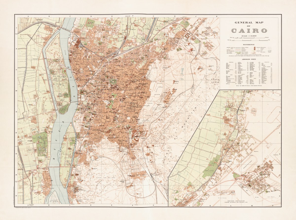
‘General map of Cairo’
Maṣlaḥat al-Misāḥah created this English language map of Cairo in 1920. This beautifully-drawn map has everything you wanted to know about Cairo 100 years ago- the location of the Camel Police Barracks to the royal palaces to the El Urman Zoological Gardens and ostrich farms. The inset is a Northern continuation showing the Heliopolis and Matarîya line.
Reproduction Size: 36″x 26.8″ (91.5cm x 68cm)


