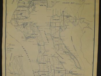
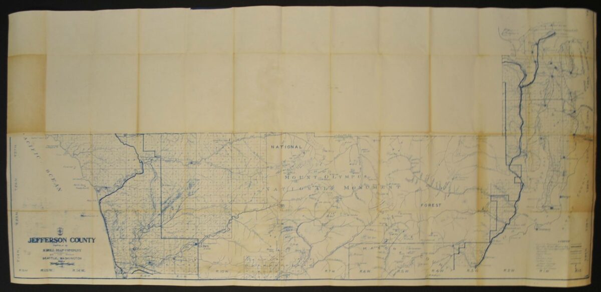
Jefferson County — Historical Map
This historical map of Jefferson County, Washington circa 1920’s is offered as an original blueprint from Kroll Map Company.
The map’s listed title is Jefferson County.
For a collector interested in this area, the map offers a tangible connection to historical cartography. Compare it with other editions and publishers to explore how the same place has been presented through time.
Map size: 50″ x 23″
Condition: Fair, previously folded. Review the photographs for the appearance of this particular item.