
Kittitas County — Historical Map
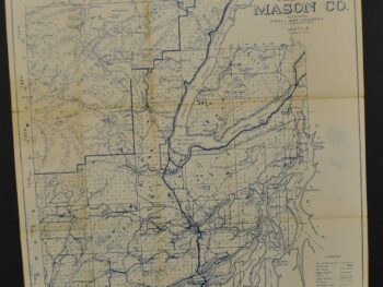
This historical map of Kittitas County, Washington circa 1950’s is offered as an original diazo blueprint from Kroll Map Company.
The map’s listed title is Kittitas County. Original Diazo blueprint yellowed.
For a collector interested in this area, the map offers a tangible connection to historical cartography. Compare it with other editions and publishers to explore how the same place has been presented through time.
Map size: 35″x 30″
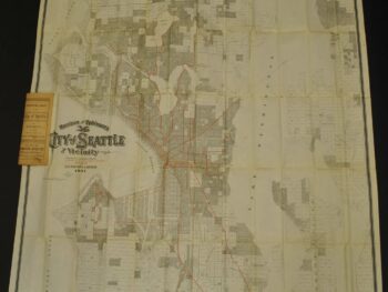
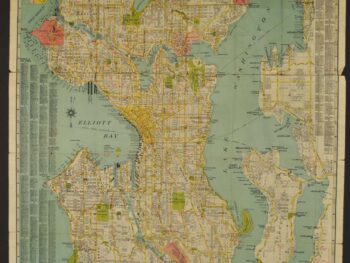
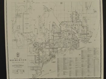
Condition: Fair. Review the photographs for the appearance of this particular item.