Nouveau Plan de Paris — Historical Map
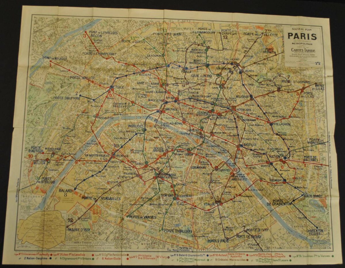
This historical map of Paris, France 1948 is offered as an original lithograph print from Cartes Taride.
The map’s listed title is Nouveau Plan de Paris. The lithograph shows the Paris Metro system.
For a collector interested in this area, the map offers a tangible connection to historical cartography. Compare it with other editions and publishers to explore how the same place has been presented through time.
Map size: 26″ x 30″
Condition: Good, previously folded. Review the photographs for the appearance of this particular item.