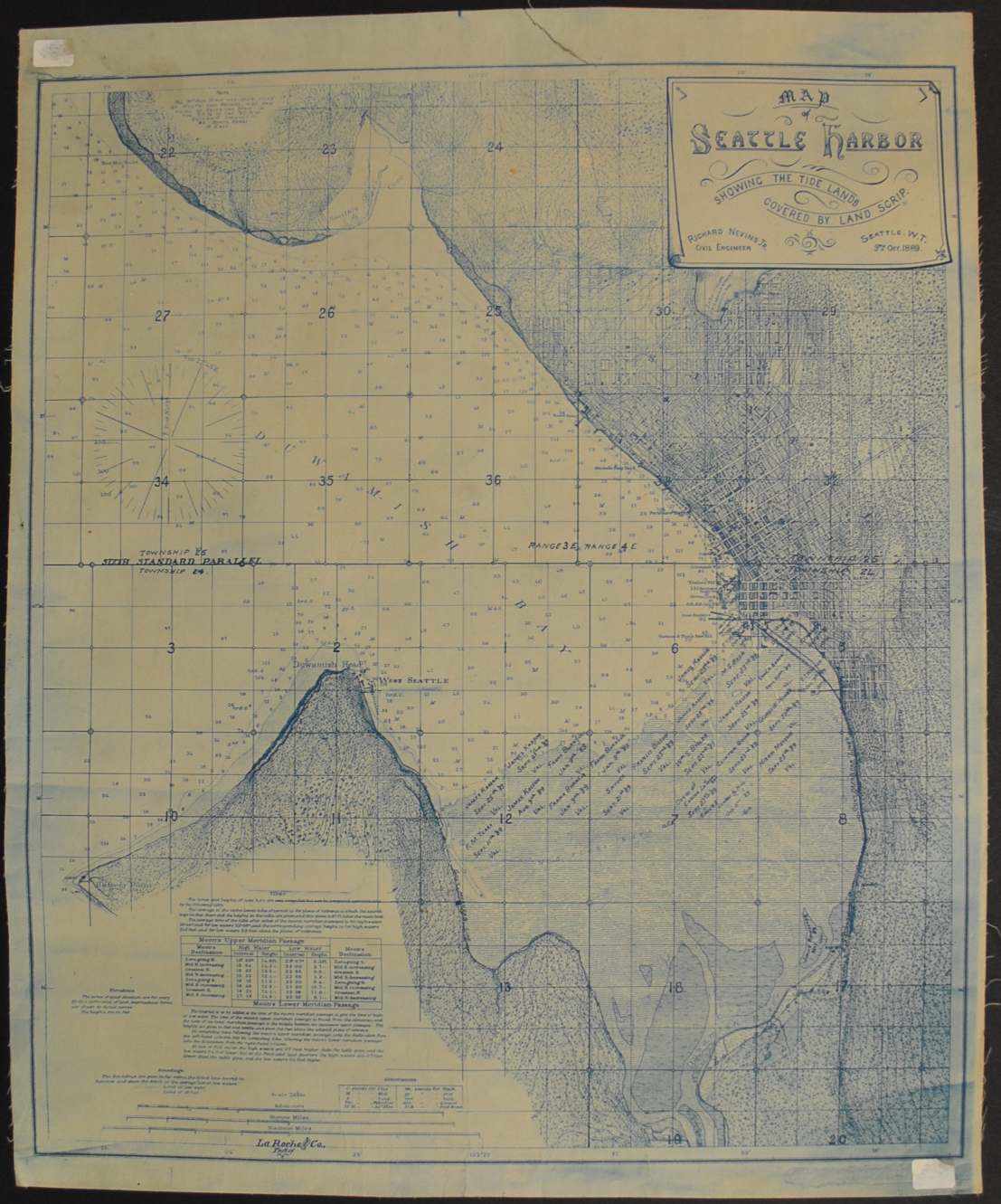
Map of Seattle Harbor — Historical Map
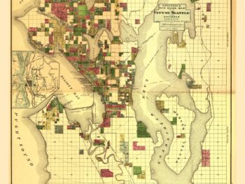
This historical map of Seattle, Washington 1889 is offered as an original cloth backed blueprint from Richard Nevirs.
The map’s listed title is Map of Seattle Harbor. Original cloth backed blueprint, showing land ownership of the tidelands of Elliott Bay.
For collectors of local history, a property or plat map offers a closer look at how land was recorded. This sheet brings that practical side of cartography into a collection, where it can be studied alongside other maps of the same area.
Map size: 17″ x 21″
Condition: Good. Review the photographs for the appearance of this particular item.
‘Map of Seattle Harbor Showing the Tide Lands’ drawn by Richard Nevins Jr. in 1889