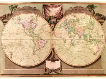
Description
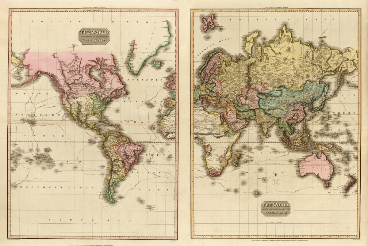
‘The World on Mercator’s Projection- Western and Eastern Parts’
World map from Pinkerton’s Modern Atlas of 1812.
Cartographer’s Note: Maps created prior to Gerardus Mercator’s projection (1569) were drawn on a grid that showed each degree of latitude or longitude the same size. Mercator’s projection kept the rhumb lines (loxodromes) straight between the latitude and longitude lines. This projection is still used for navigation charts because every straight line is a line of constant true bearing that enable navigators to plot straight-line courses. It is less practical for world maps because the scale is distorted; areas farther away from the equator appear disproportionately large. On a Mercator projection, for example, the landmass of Greenland appears to be greater than that of the entire continent of South America; in actual area, Greenland is 1/8 the size of South America.
Reproduction Size: 36″x 24.5″ (91.5cm x 62cm)