Description
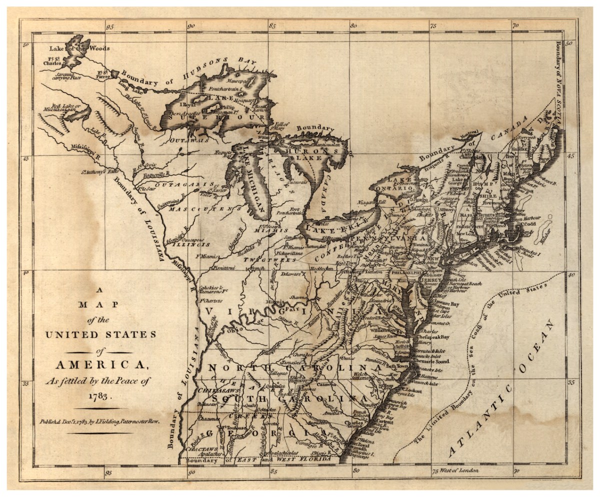
‘A map of the United States of America, as settled by the peace of 1783′
Drawn by I. Fielding and published in London in 1783, this United States map covers the area east of the Mississippi River from Canada to Florida. It depicts boundaries, major towns and cities, forts, Indian villages and tribal territory, rivers, and pictoral relief.
Reproduction Size: 30″x 25″


