Italian Map of Africa, circa 1600
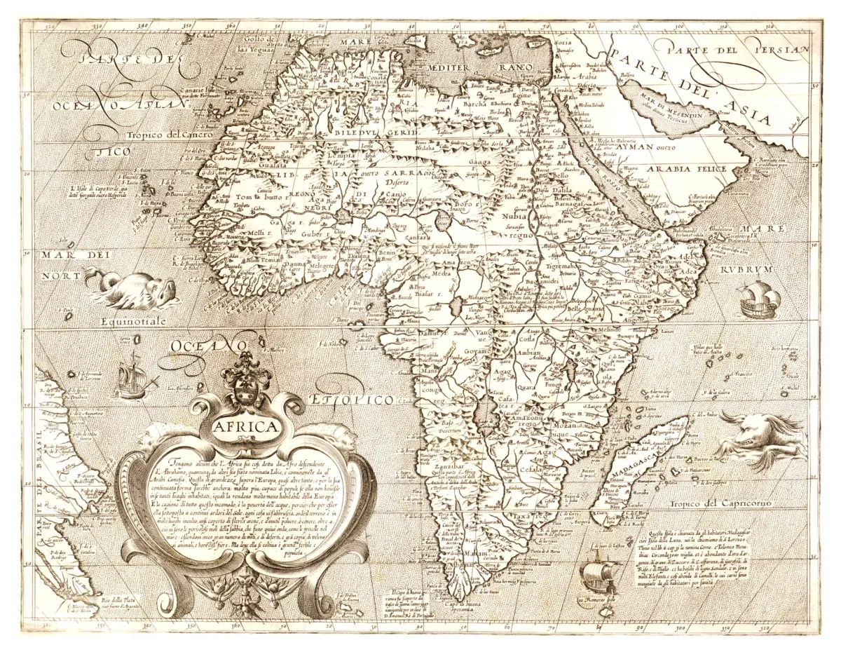
This antique Africa map print reproduces Africa, attributed to Arnoldo di Arnoldi and Matteo Florimi and published in Siena, Italy. The precise publication year remains uncertain, although the tentative dating is c. 1600.
The map shows pictorial relief, explanatory notes, and illustrations. The map is in Italian.
Sailing ships and fanciful sea creatures fill the surrounding waters, while an elaborate cartouche anchors the lower-left portion of the composition. Closely-spaced coastal names, illustrated mountains, and decorative lettering make this map a rich example of historical cartographic art.
Its warm, monochrome appearance lends itself to a study, office, or gallery wall. The map presents a historical view of the continent, combining geographic detail with the imaginative decoration of its period.
Printed size: 36″ × 28″