
Anderson’s Alaska and Yukon Map, circa 1900
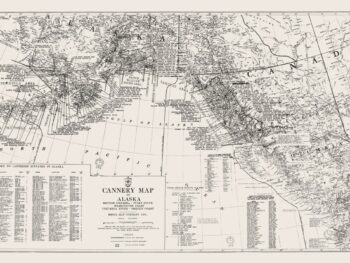
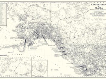
This Alaska and Yukon map print reproduces the historical tracing held in Kroll Map Company’s collection. Identified as Anderson’s map and dated circa 1900, it offers a broad view of two neighboring northern regions.
The reproduction preserves the cartographic character of the tracing while making the map available as a print. Its cross-border coverage gives it an appealing place in a collection focused on Alaska, Yukon, or the changing presentation of northern geography.
Compare it with later Kroll Alaska maps to explore differences in period and mapping purpose. A tracing-based reproduction also offers a different visual character from a pictorial travel map or a colorful atlas sheet.
Display the print in a study, office, or library where the detail can be explored at close range. The approximate date is retained from the existing collection record.
Printed size: 36″ × 34″