Description
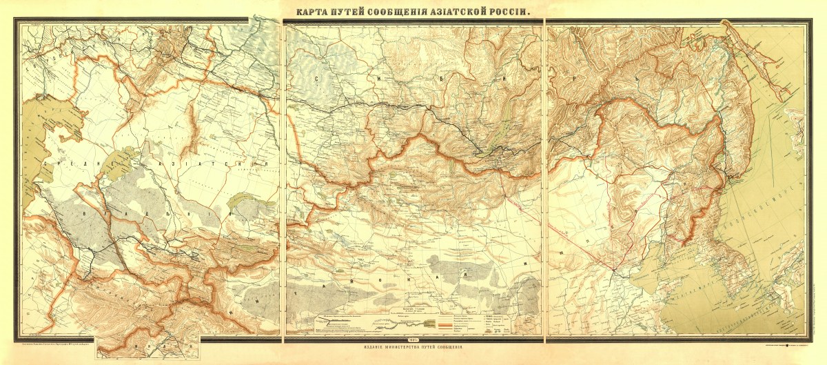
‘Karta puteĭ soobshchenīi︠a︡ Azīatskoĭ Rossīi’
This beautiful relief map of Asiatic China and Russia was created and published in St. Petersburg in 1901. It shows railroads, navigable rivers, highways, and shipping routes- and also covers Manchuria. In Russian.
Reproduction Sizes:
36″x 16″, 47″x 21″


