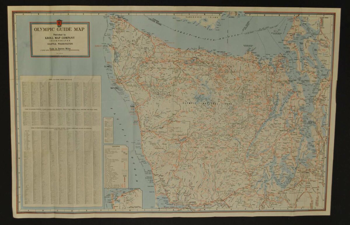
Olympic Peninsula Guide Map — Historical Map
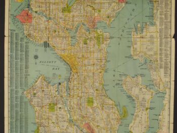
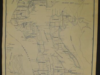
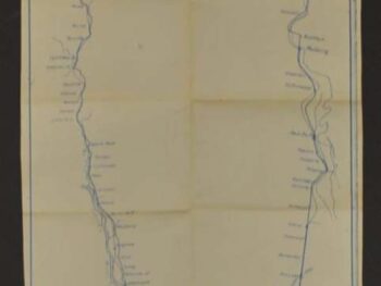
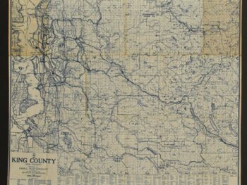
This historical map of Olympic Peninsula circa 1940’s is offered as an original lithograph print from Kroll Map Company.
The map’s listed title is Olympic Peninsula Guide Map. The lithograph shows Rivers, trails and cabins.
Explore it alongside later maps to compare the ways publishers presented routes and places to their readers. Its value as a historical object lies in both the mapped area and the format chosen for everyday reference.
Map size: 34″ x 22″
Condition: Good, previously folded. Review the photographs for the appearance of this particular item.