Description
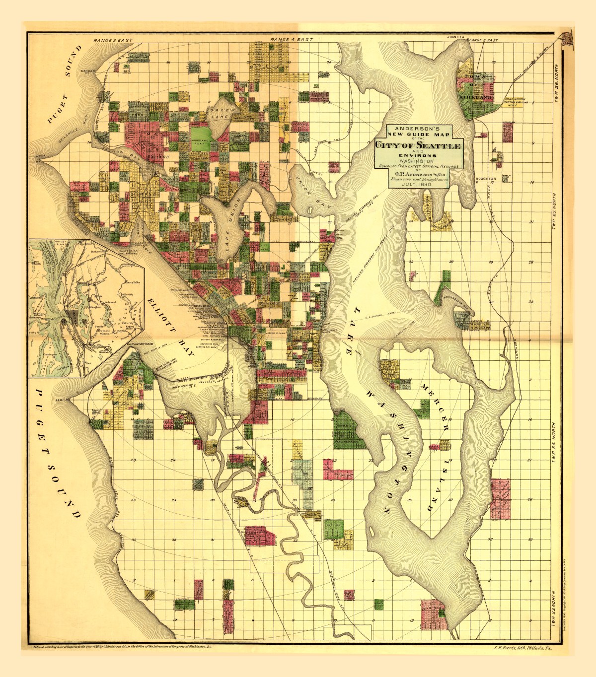
‘Anderson’s new guide map of the city of Seattle and environs’
Many Seattleites don’t know that there was once railroad lines across Elliott Bay connecting West Seattle to Seattle’s central business district, or what Seattle looked like before the Lake Washington Ship Canal was built.
O. P. Anderson & Co. created this gorgeously colored plat map of Seattle and surrounding area in July of 1890. A wonderful slice of historic Seattle before the Ballard Locks, Montlake Cut, and the Duwamish River was ‘moved’ to create Harbor Island. Inset shows Bainbridge Island to Snoqualmie Falls.
Anderson Map Company and the Washington Map & Blueprint Company became the Kroll Map Company in 1911.
Reproduction Size: approx. 32″x 36″