
Map of Stillaguamish District — Historical Map
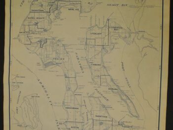
This historical map of Snohomish County, Washington Mining Map circa 1890’s is offered as an original tracing from Anderson Map Company.
This original Anderson Map Company tracing records the Gordon Creek Gold & Copper Mining Company’s claims in the Stillaguamish Mining District of Snohomish County. Its company-specific subject distinguishes it from broader regional mining maps.
Its mining focus gives this map a particular appeal for collectors interested in the documents used to describe mineral districts and claims. Read it as a piece of working cartography, connecting the named area with the commercial interests recorded on the sheet.
Map size: 36″ x 21″
Condition: Good. Review the photographs for the appearance of this particular item.