Skip to content
No results
  • Reproductions
  • Originals
  • About Our Maps
  • Contact
  • Cart
  • Account
Kroll Antique Maps
Kroll Antique Maps
  • Reproductions
  • Originals
  • About Our Maps
  • Contact
  • Cart
  • Account
Kroll Antique Maps
Kroll Antique Maps
Home Antique Continent, Subcontinent and Regional Maps Asia 1815 ‘Corea and Japan’
“Australia 1818 ‘Australasia’” has been added to your cart. View cart
Asia 1815 'Corea and Japan'

Asia 1815 ‘Corea and Japan’

$32.95

Categories: Antique Continent, Subcontinent and Regional Maps, Antique Country and Regions Maps Tags: 1815, continent maps, J. & G. Menzies, Japan, Korea
  • Description

‘Corea [sic] and Japan’

Drawn & engraved for Thomson’s New General Atlas, August 1815 by J. & G. Menzies. Hand-colored.

Reproduction Size: 36″x 29.5″ (91.5cm x 74.9cm)

Related products

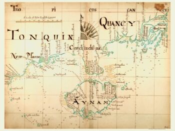
  • China 1690 'Tonquin, Quancy, Aynam'

    China 1690 ‘Tonquin, Quancy, Aynam’

    $35.95
    • Antique Country and Regions Maps
    Add to cart
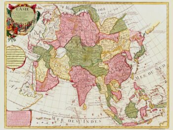
  • Asia 1700 'L'Asie'

    Asia 1700 ‘L’Asie’

    $42.95
    • Antique Continent, Subcontinent and Regional Maps, Antique Country and Regions Maps
    Add to cart
  • 1912 British War Office map of Afghanistan and present-day Pakistan, showing red railway routes and color-coded mountain elevations.

    Afghanistan and Pakistan Map, 1912 – Rail Lines and Elevations

    $42.95
    • Antique Country and Regions Maps, Antique Military Maps, Antique Railroad Maps
    Add to cart
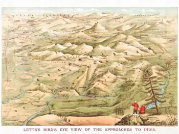
  • Panoramic bird’s eye view map of Afghanistan by W. H. Payne for Letts, showing illustrated mountains, blue rivers, and two British soldiers in the foreground.

    Afghanistan Bird’s-Eye View Map, circa 1920s

    $37.95
    • Antique Continent, Subcontinent and Regional Maps, Antique Country and Regions Maps, Antique Military Maps
    Add to cart
Copyright © 2026 - WordPress Theme by CreativeThemes