Description
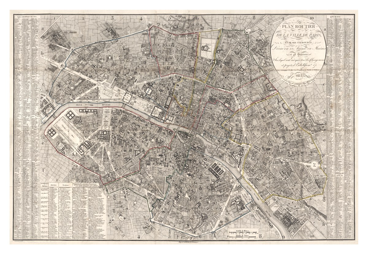
‘Plan routier de la ville de Paris et des ses faubourgs, divisé en 12 arrondts. ou mairies et 48 quartiers, sur lequel sont indiqués tous les changemens et projets d’embellissemt. etc. on y remarque de plus tous les principaux hotels et edifices’
‘Road map of the city of Paris and its suburbs, divided into 12 arrondissements or town halls and 48 quartiers, on which are indicated all the changes and embellishment projects, etc. We also note all the major hotels and buildings’. Another less-wordy name for this map is ‘Nouveau plan de Paris‘ (New Map of Paris), an engraved and hand-colored map of Paris from 1823 produced at Chez Ledoyen by E. Collin. Full index of streets and monuments on this finely detailed map.
Reproduction Size: 36″ x 25″